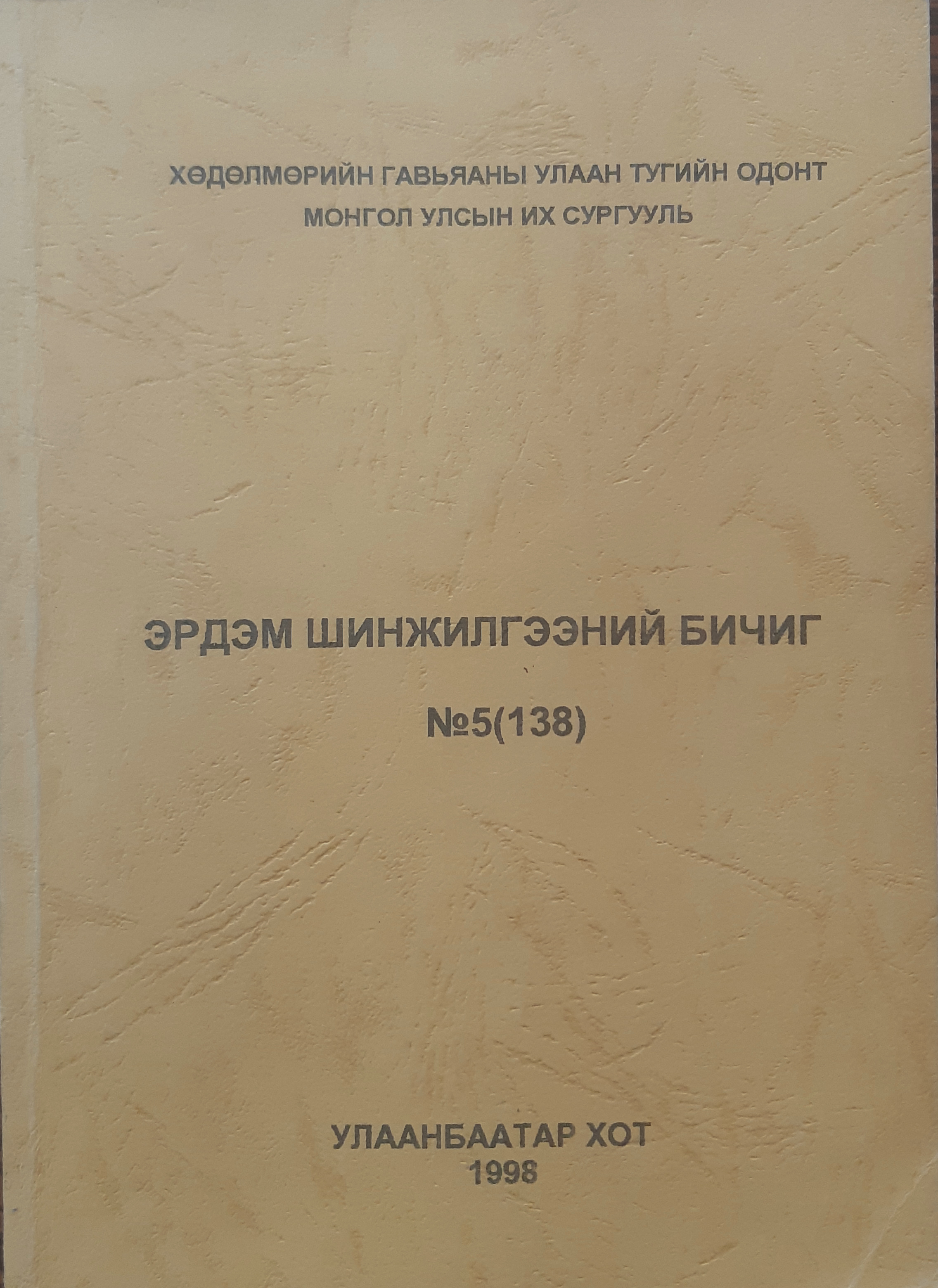
Land surface temperature estimation using satellite data NOAA-AVHRR over Mongolia
DOI:
https://doi.org/10.22353/physics.v5i555.692Keywords:
land surface temperature, vegetation coverAbstract
Mongolia is an agricultural country. The limiting factor in agriculture in Mongolia is availability water (moisture) during the crop growing period (April-October). Therefore the assessment of land surface temperature is highly useful in estimation of the soil moisture and in agriculture of Mongolia.
The goal of this research is to study the land surface temperature using channels 4 and 5 from NOAA-AVHRR data and to compare it with normalized difference vegetation index during the crop growth period in Mongolia. NOAA-AVHRR derived HDVI will be used for assessig the vegetation cover and in conjuction with the land surface temperature also to assess the soil moisture tendecy. Global data sets of GAC data base used to compare the land surface temperature in good and deficit rain years to develoop an understanding of the response. The information will be useful in estimation of the surface soil moisture tendecy of arable land and pastures in Mongolia.
Downloads
Downloads
Published
How to Cite
Issue
Section
License
Copyright (c) 2022 Физик сэтгүүл

This work is licensed under a Creative Commons Attribution-NonCommercial-ShareAlike 4.0 International License.


