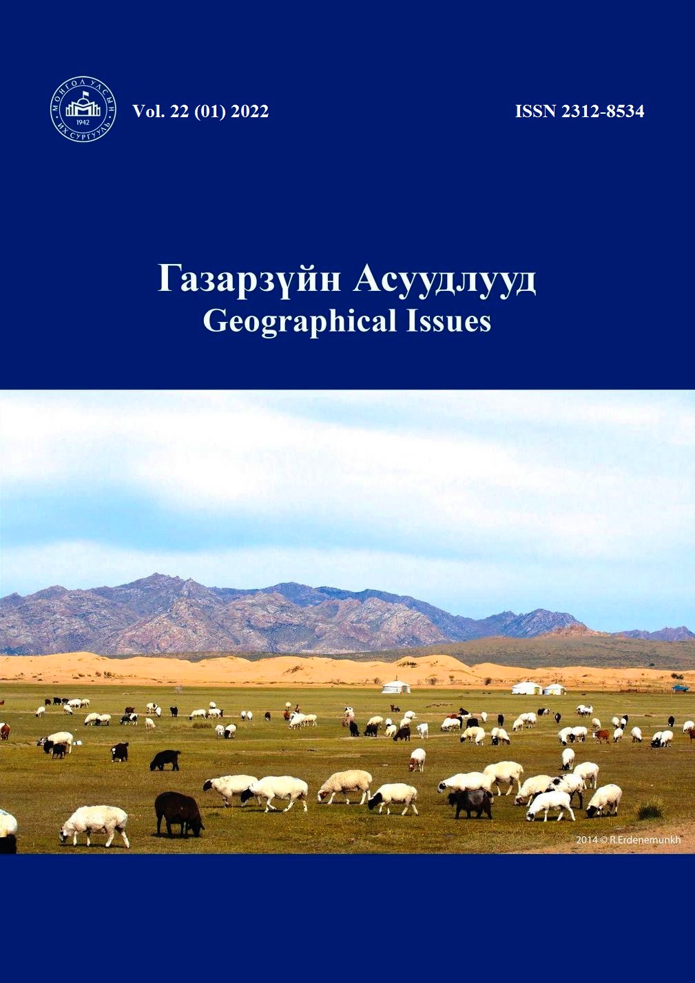
Шилийн Богд орчмын хээрийн түймрийн шаталтын зэрэглэлийг тооцоолох болон нөхөн сэргэх үйл явцын мониторинг судалгаа
A wildfire monitoring study for burn severity and recovery process using remote sensing techniques: A case study near Shiliin Bogd mountain, Eastern Mongolia
Keywords:
Wildfire, Burn severity, Wildfire recovery, Sentinel-2, Shiliin Bogd mountain, Eastern MongoliaAbstract
Due to the increase in global climate change and related natural disasters, satellite observation and mapping technology have made it possible to monitor, predict, evaluate, and detect the environment, which is a clear indication of the importance of remote sensing. The main purpose of this study is to monitor the occurrence of fire disasters as a result of Sentinel-2 satellite imaging technology, to determine the burned area with its classification and the recovery process. The study area was sampled in the southeastern part of Mongolia, near the Shiliin Bogd mountain at the natural steppe zone. In terms of research methodology, the normalized burn ratio (NBR) index was used to map the area of the fire site and the classification of the burned area into 5 categories: unburned, low, low-medium, high-medium, and high, which are process-defined work. As a result of the estimation, the burned area was mapped from the satellite images and the total burned area was 1164.27 km2, of which 757.34 km2 (65 percent) was weak, 404.57 km2 (34.7 percent) was low-medium and the remaining 2.36 km2 (0.3 percent) was high-medium. Finally, we believe that this research is important for emergency workers, researchers, and environmental specialists.
Downloads
Downloads
Published
How to Cite
Issue
Section
License

This work is licensed under a Creative Commons Attribution-NonCommercial-ShareAlike 4.0 International License.


